Topographic Map
What is a Topographic Map? Explained in an easy to understand way:

What's Covered in the Video:
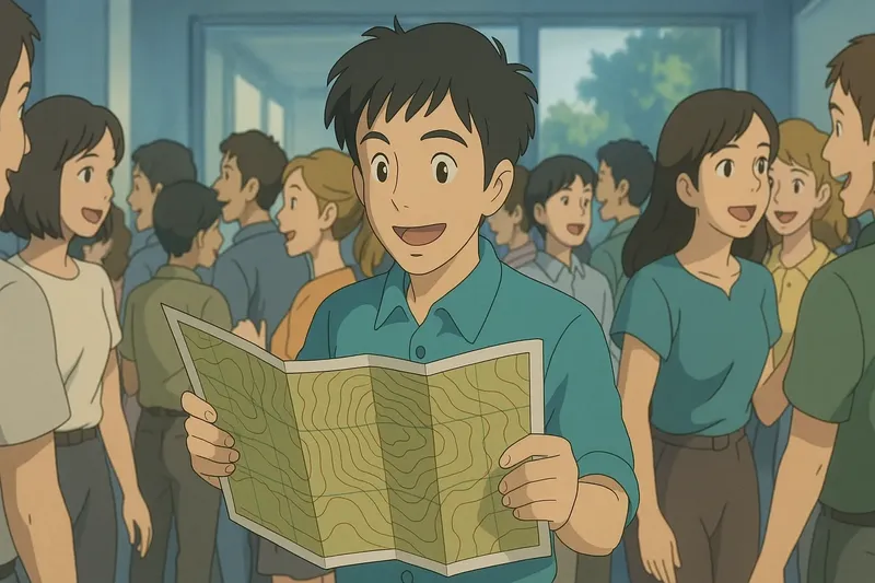
Imagine trying to navigate a crowded room at a party where you don't know anyone. Just like finding your way through the room requires understanding where people are clustered and where there's open space, reading a topographic map involves interpreting lines and symbols to understand the terrain's highs and lows. The people in the room are like the contour lines on the map—where people are densely packed is like closely spaced contour lines indicating steep terrain, and open spaces are like widely spaced lines showing gentle slopes.

Practice Version

Topographic Map: A map showing Earth's surface features and elevations. Topographic map. A topographic map shows the shape and height of the land using contour lines.