Contour Line
What is a Contour Line? Explained in an easy to understand way:

What's Covered in the Video:
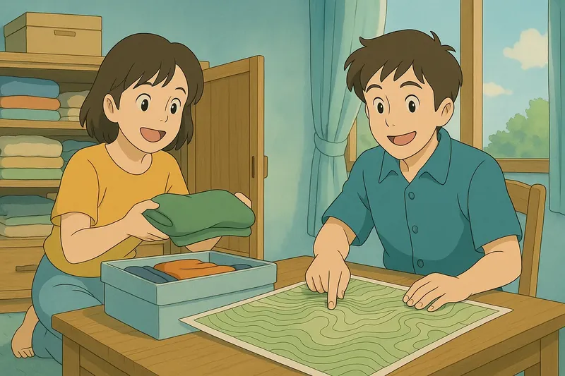
Imagine you're trying to organize your messy closet, where everything is piled up at different heights. Just like how you might sort your clothes by creating layers of similar items at the same level, contour lines on a map connect points of equal elevation, creating a visual "layer" of height. In both cases, whether it's organizing clothes or mapping terrain, the key idea is grouping similar levels together to make sense of the chaos—clothes at the same height in your closet and land at the same elevation on a map.

Practice Version

Contour Line: A line on a topographic map connecting points of equal elevation. Contour line. A contour line shows areas at the same height above sea level, helping to visualize the 3D shape of the landscape on a flat map.